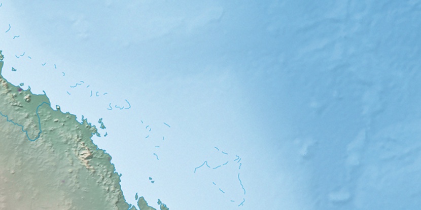
Derwent Island, (island) is located in Queensland, in Australia (Australia). It is placed in GMT+10 time zone with current time of 01:58 AM, Thursday. Offset from your time zone: minutes.
| Latitude | 

|
|
| decimal | -20.98639 | |
| DMS | 20° 59' 11.004" S | |
| Distances from | ||
| North pole | 12340.5 km | |
| Equator | 2333.5 km | |
| South pole | 7673.6 km | |
| Longitude | 
|
|
| decimal | 149.78139 | |
| DMS | 149° 46' 53.004" E | |
| Distance from prime meridian: 14308.2 km to East |
||
List of nearest places sort by population
Mackay 66.5 km 253°
253° 157°
157° 304°
304° 237°299°297°
 255°
255° 212°164°
 230°
230°

Marker is showing location of Derwent Island on map(s). You can click on marker if you want to hide it.
 T: 0.01943 s.
2026 © Location.zone | Terms of use | Contact
 174°
174° 193°
193° 215°
215° 154°
154° 182°
182° 350°
350° 95°
95° 308°
308°