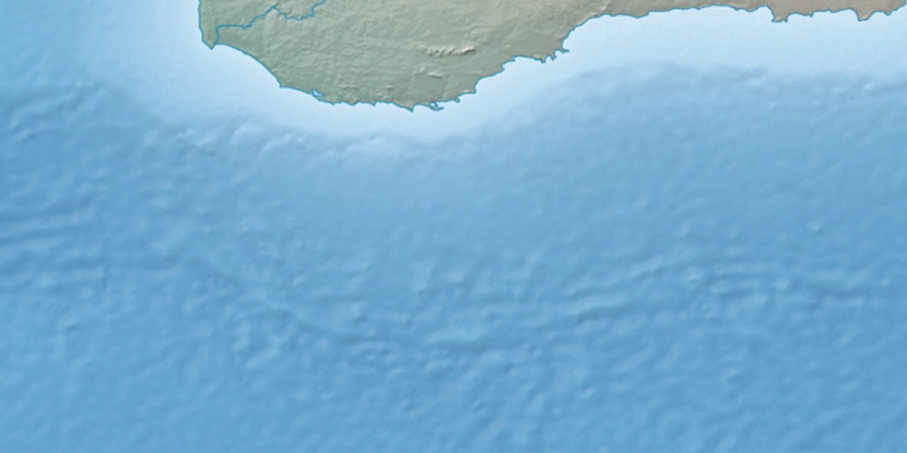
Eclipse Island, (island) is located in Western Australia, in Australia (Australia). It is placed in GMT+8 time zone with current time of 07:00 AM, Wednesday. Offset from your time zone: minutes.
| Latitude | 

|
|
| decimal | -35.1824 | |
| DMS | 35° 10' 56.64" S | |
| Distances from | ||
| North pole | 13919 km | |
| Equator | 3911.9 km | |
| South pole | 6095.1 km | |
| Longitude | 
|
|
| decimal | 117.8835 | |
| DMS | 117° 53' 0.6" E | |
| Distance from prime meridian: 9882.4 km to East |
||
List of nearest places sort by population
Albany 20 km 355°
355° 303°
303° 349°297°
 342°
342° 11°
11° 327°343°336°295°

Marker is showing location of Eclipse Island on map(s). You can click on marker if you want to hide it.
 T: 0.01937 s.
2026 © Location.zone | Terms of use | Contact
 87°
87° 96°
96° 75°
75° 16°
16° 322°
322° 313°
313°