Flinders Island, (island) is located in Western Australia, in Australia (Australia). It is placed in GMT+8 time zone with current time of 09:29 PM, Wednesday. Offset from your time zone: minutes.
| Latitude | 

|
|
| decimal | -34.41409 | |
| DMS | 34° 24' 50.724" S | |
| Distances from | ||
| North pole | 13833.6 km | |
| Equator | 3826.5 km | |
| South pole | 6180.6 km | |
| Longitude | 
|
|
| decimal | 115.2065 | |
| DMS | 115° 12' 23.4" E | |
| Distance from prime meridian: 9818.7 km to East |
||
List of nearest places sort by population
Busselton 85.6 km 8°
8° 346°
346° 77°354°
 59°
59° 338°
338° 2°349°
 92°
92° 356°
356°

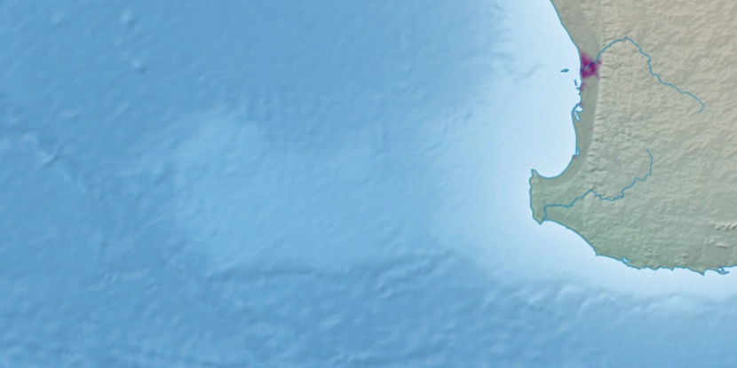
Marker is showing location of Flinders Island on map(s). You can click on marker if you want to hide it.
 T: 0.01929 s.
2026 © Location.zone | Terms of use | Contact
 98°
98° 18°
18° 323°
323° 314°
314°