Gower Island, (island) is located in New South Wales, in Australia (Australia). It is placed in GMT+10:30 time zone with current time of 12:34 AM, Thursday. Offset from your time zone: minutes.
| Latitude | 

|
|
| decimal | -31.59967 | |
| DMS | 31° 35' 58.812" S | |
| Distances from | ||
| North pole | 13520.6 km | |
| Equator | 3513.6 km | |
| South pole | 6493.5 km | |
| Longitude | 
|
|
| decimal | 159.07187 | |
| DMS | 159° 4' 18.732" E | |
| Distance from prime meridian: 12649.8 km to East |
||
List of nearest places sort by population
Port Macquarie 584.4 km 271°
271° 284°283°280°
 286°283°272°285°274°283°

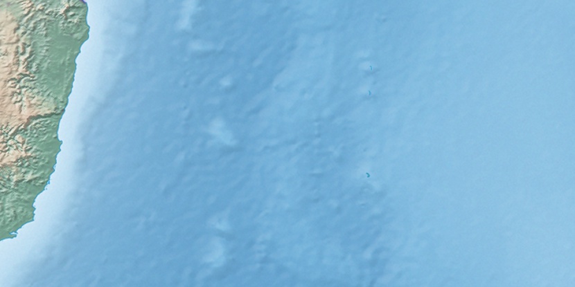
Marker is showing location of Gower Island on map(s). You can click on marker if you want to hide it.
 T: 0.01858 s.
2026 © Location.zone | Terms of use | Contact
 251°
251° 241°
241° 308°
308° 258°
258° 344°
344° 90°
90° 303°
303°