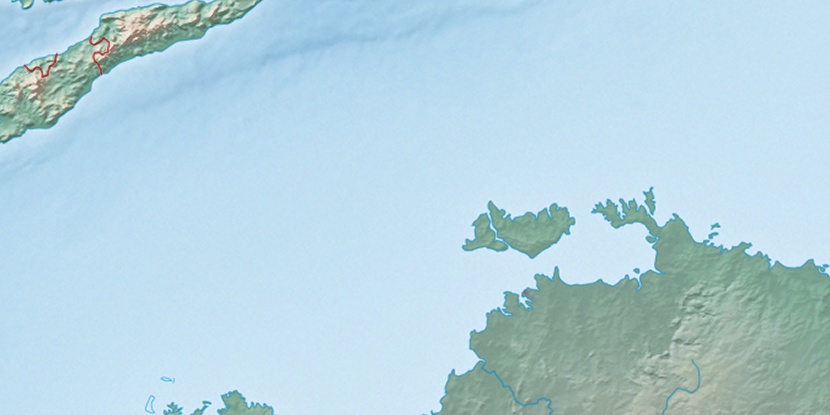
Greenwood Island, (island) is located in Northern Territory, in Australia (Australia). It is placed in GMT+9:30 time zone with current time of 01:36 AM, Thursday. Offset from your time zone: minutes.
| Latitude | 

|
|
| decimal | -12.62654 | |
| DMS | 12° 37' 35.544" S | |
| Distances from | ||
| North pole | 11411 km | |
| Equator | 1403.9 km | |
| South pole | 8603.1 km | |
| Longitude | 
|
|
| decimal | 130.94841 | |
| DMS | 130° 56' 54.276" E | |
| Distance from prime meridian: 13919.7 km to East |
||
List of nearest places sort by population
Darwin 21.7 km 327°
327° 13°
13° 65°329°
 338°326°331°331°336°
 35°
35°

Marker is showing location of Greenwood Island on map(s). You can click on marker if you want to hide it.
 T: 0.0191 s.
2026 © Location.zone | Terms of use | Contact
 138°
138° 153°
153° 125°
125° 215°
215° 162°
162° 310°
310° 302°
302° 98°
98°