Melville Island, (island) is located in Northern Territory, in Australia (Australia). It is placed in GMT+9:30 time zone with current time of 09:55 PM, Sunday. Offset from your time zone: minutes.
| Latitude | 

|
|
| decimal | -11.52376 | |
| DMS | 11° 31' 25.536" S | |
| Distances from | ||
| North pole | 11288.4 km | |
| Equator | 1281.3 km | |
| South pole | 8725.7 km | |
| Longitude | 
|
|
| decimal | 131.04424 | |
| DMS | 131° 2' 39.264" E | |
| Distance from prime meridian: 14031.5 km to East |
||
List of nearest places sort by population
Darwin 106.5 km 191°
191° 183°189°192°192°192°192°192°191°180°

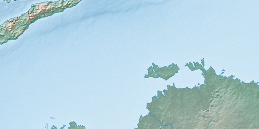
Marker is showing location of Melville Island on map(s). You can click on marker if you want to hide it.
 T: 0.01877 s.
2026 © Location.zone | Terms of use | Contact
 140°
140° 154°
154° 127°
127° 214°
214° 163°
163° 9°
9° 310°
310° 302°
302° 98°
98°