Panton Island, (island) is located in Western Australia, in Australia (Australia). It is placed in GMT+8 time zone with current time of 10:03 PM, Wednesday. Offset from your time zone: minutes.
| Latitude | 

|
|
| decimal | -15.26273 | |
| DMS | 15° 15' 45.828" S | |
| Distances from | ||
| North pole | 11704.1 km | |
| Equator | 1697.1 km | |
| South pole | 8310 km | |
| Longitude | 
|
|
| decimal | 128.2421 | |
| DMS | 128° 14' 31.56" E | |
| Distance from prime meridian: 13392.8 km to East |
||
List of nearest places sort by population
Darwin 419.3 km 42°43°
 136°41°41°41°41°41°41°
 190°
190°

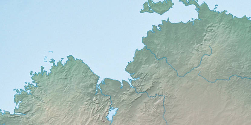
Marker is showing location of Panton Island on map(s). You can click on marker if you want to hide it.
 T: 0.02241 s.
2026 © Location.zone | Terms of use | Contact
 131°
131° 146°
146° 117°
117° 214°
214° 12°
12° 312°
312° 303°
303° 97°
97°