Por Island, (island) is located in Queensland, in Australia (Australia). It is placed in GMT+10 time zone with current time of 01:11 AM, Thursday. Offset from your time zone: minutes.
| Latitude | 

|
|
| decimal | -12.58333 | |
| DMS | 12° 34' 59.988" S | |
| Distances from | ||
| North pole | 11406.2 km | |
| Equator | 1399.1 km | |
| South pole | 8607.9 km | |
| Longitude | 
|
|
| decimal | 143.46667 | |
| DMS | 143° 28' 0.012" E | |
| Distance from prime meridian: 15108.7 km to East |
||
List of nearest places sort by population
Mareeba 533.3 km 156°
156° 153°152°153°
 268°152°
 328°150°152°153°

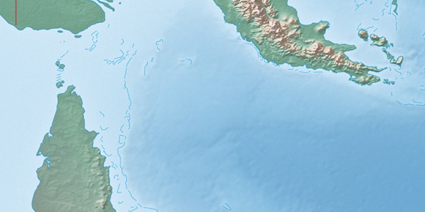
Marker is showing location of Por Island on map(s). You can click on marker if you want to hide it.
 T: 0.01889 s.
2026 © Location.zone | Terms of use | Contact
 176°
176° 232°
232° 191°
191° 167°
167° 355°
355° 307°
307° 98°
98° 299°
299°