Sand Knoll Ledge, (island) is located in Western Australia, in Australia (Australia). It is placed in GMT+8 time zone with current time of 08:06 PM, Wednesday. Offset from your time zone: minutes.
| Latitude | 

|
|
| decimal | -30.45667 | |
| DMS | 30° 27' 24.012" S | |
| Distances from | ||
| North pole | 13393.5 km | |
| Equator | 3386.5 km | |
| South pole | 6620.6 km | |
| Longitude | 
|
|
| decimal | 115.01667 | |
| DMS | 115° 1' 0.012" E | |
| Distance from prime meridian: 10372.3 km to East |
||
List of nearest places sort by population
Butler 147.3 km 153°154°154°154°
 102°
102° 356°
356° 7°153°355°154°

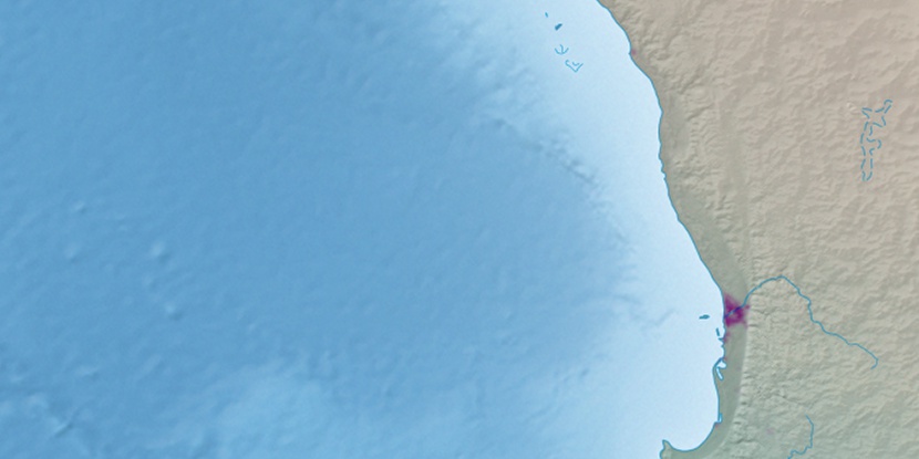
Marker is showing location of Sand Knoll Ledge on map(s). You can click on marker if you want to hide it.
 T: 0.01932 s.
2026 © Location.zone | Terms of use | Contact
 106°
106° 84°
84° 85°
85° 19°
19° 322°
322° 312°
312°