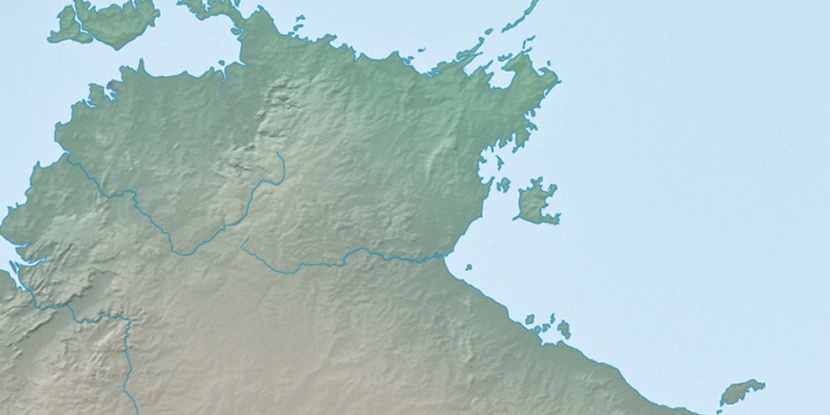
Sandy Island, (island) is located in Northern Territory, in Australia (Australia). It is placed in GMT+9:30 time zone with current time of 09:34 PM, Wednesday. Offset from your time zone: minutes.
| Latitude | 

|
|
| decimal | -14.4333 | |
| DMS | 14° 25' 59.88" S | |
| Distances from | ||
| North pole | 11611.9 km | |
| Equator | 1604.8 km | |
| South pole | 8402.2 km | |
| Longitude | 
|
|
| decimal | 135.8833 | |
| DMS | 135° 52' 59.88" E | |
| Distance from prime meridian: 14196.2 km to East |
||
List of nearest places sort by population
Darwin 587.6 km 291°292°
 269°292°293°292°
 21°292°292°
 42°
42°

Marker is showing location of Sandy Island on map(s). You can click on marker if you want to hide it.
 T: 0.0195 s.
2026 © Location.zone | Terms of use | Contact
 144°
144° 160°
160° 129°
129° 226°
226° 173°
173° 150°
150° 4°
4° 309°
309° 302°
302° 97°
97°