The Pelicans, (island) is located in Western Australia, in Australia (Australia). It is placed in GMT+8 time zone with current time of 09:50 PM, Wednesday. Offset from your time zone: minutes.
| Latitude | 

|
|
| decimal | -16.1669 | |
| DMS | 16° 10' 0.84" S | |
| Distances from | ||
| North pole | 11804.7 km | |
| Equator | 1797.6 km | |
| South pole | 8209.5 km | |
| Longitude | 
|
|
| decimal | 128.7171 | |
| DMS | 128° 43' 1.56" E | |
| Distance from prime meridian: 13338.8 km to East |
||
List of nearest places sort by population
Darwin 471.3 km 29°
29° 63°
63° 3°28°28°28°28°28°31°
 205°
205°

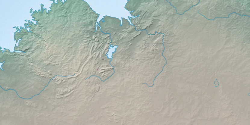
Marker is showing location of The Pelicans on map(s). You can click on marker if you want to hide it.
 T: 0.01927 s.
2026 © Location.zone | Terms of use | Contact
 131°
131° 146°
146° 116°
116° 216°
216° 136°
136° 11°
11° 312°
312° 304°
304° 96°
96°