Wangoindjung Island, (island) is located in Northern Territory, in Australia (Australia). It is placed in GMT+9:30 time zone with current time of 12:04 AM, Thursday. Offset from your time zone: minutes.
| Latitude | 

|
|
| decimal | -11.567 | |
| DMS | 11° 34' 1.2" S | |
| Distances from | ||
| North pole | 11293.2 km | |
| Equator | 1286.1 km | |
| South pole | 8720.9 km | |
| Longitude | 
|
|
| decimal | 132.15469 | |
| DMS | 132° 9' 16.884" E | |
| Distance from prime meridian: 14138.1 km to East |
||
List of nearest places sort by population
Darwin 174 km 235°
235° 231°225°236°235°237°236°236°236°229°

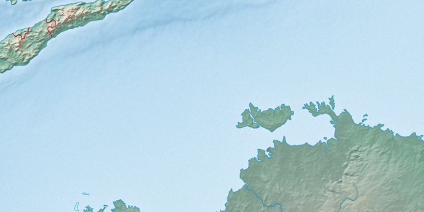
Marker is showing location of Wangoindjung Island on map(s). You can click on marker if you want to hide it.
 T: 0.01897 s.
2026 © Location.zone | Terms of use | Contact
 141°
141° 156°
156° 129°
129° 216°
216° 165°
165° 146°
146° 8°
8° 309°
309° 301°
301° 98°
98°