Warla Island, (island) is located in Northern Territory, in Australia (Australia). It is placed in GMT+9:30 time zone with current time of 11:09 PM, Wednesday. Offset from your time zone: minutes.
| Latitude | 

|
|
| decimal | -11.5414 | |
| DMS | 11° 32' 29.04" S | |
| Distances from | ||
| North pole | 11290.3 km | |
| Equator | 1283.3 km | |
| South pole | 8723.8 km | |
| Longitude | 
|
|
| decimal | 132.1561 | |
| DMS | 132° 9' 21.96" E | |
| Distance from prime meridian: 14140.6 km to East |
||
List of nearest places sort by population
Darwin 175.8 km 234°230°225°
 236°234°236°235°235°235°228°

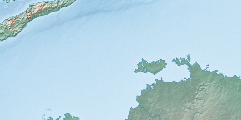
Marker is showing location of Warla Island on map(s). You can click on marker if you want to hide it.
 T: 0.01982 s.
2026 © Location.zone | Terms of use | Contact
 142°
142° 156°
156° 129°
129° 216°
216° 165°
165° 146°
146° 8°
8° 309°
309° 301°
301° 98°
98°