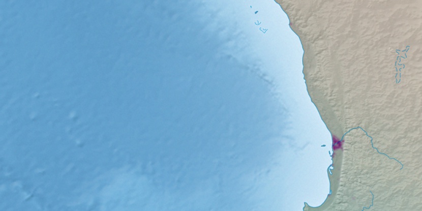
Webb Island, (island) is located in Western Australia, in Australia (Australia). It is placed in GMT+8 time zone with current time of 05:43 PM, Wednesday. Offset from your time zone: minutes.
| Latitude | 

|
|
| decimal | -29.97571 | |
| DMS | 29° 58' 32.556" S | |
| Distances from | ||
| North pole | 13340 km | |
| Equator | 3333 km | |
| South pole | 6674.1 km | |
| Longitude | 
|
|
| decimal | 114.9609 | |
| DMS | 114° 57' 39.24" E | |
| Distance from prime meridian: 10434.4 km to East |
||
List of nearest places sort by population
Geraldton 137.2 km 345°
345° 159°347°160°
 126°
126° 358°
358° 168°356°
 121°350°

Marker is showing location of Webb Island on map(s). You can click on marker if you want to hide it.
 T: 0.01906 s.
2026 © Location.zone | Terms of use | Contact
 97°
97° 107°
107° 85°
85° 19°
19° 321°
321° 312°
312°