Tapinas, (populated locality) is located in São Paulo, in Brazil (America). It is placed in GMT-3 time zone with current time of 04:16 PM, Saturday. Offset from your time zone: minutes.
| Latitude | 

|
|
| decimal | -21.44611 | |
| DMS | 21° 26' 45.996" S | |
| Distances from | ||
| North pole | 12391.6 km | |
| Equator | 2384.6 km | |
| South pole | 7622.5 km | |
| Longitude | 
|
|
| decimal | -48.78611 | |
| DMS | 48° 47' 9.996" W | |
| Distance from prime meridian: 5027.2 km to West |
||
List of nearest places sort by population
Catanduva 39.4 km 330°
330° 81°
81° 187°
187° 55°189°
 355°
355° 336°
336° 297°
297° 237°
237° 161°
161°

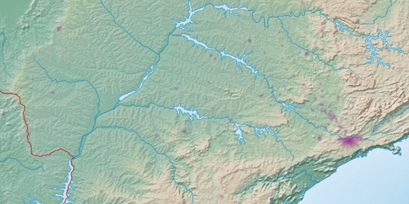
Marker is showing location of Tapinas on map(s). You can click on marker if you want to hide it.
 T: 0.02399 s.
2026 © Location.zone | Terms of use | Contact
 136°
136° 105°
105° 49°
49° 29°
29° 71°
71° 8°
8° 0°
0° 36°
36° 264°
264° 289°
289°