Armark River, (stream) is located in Nunavut, in Canada (America). It is placed in GMT-6 time zone with current time of 10:40 AM, Sunday. Offset from your time zone: minutes.
| Latitude | 

|
|
| decimal | 67.75093 | |
| DMS | 67° 45' 3.348" N | |
| Distances from | ||
| North pole | 2473.9 km | |
| Equator | 7533.2 km | |
| South pole | 17540.3 km | |
| Longitude | 
|
|
| decimal | -101.08466 | |
| DMS | 101° 5' 4.776" W | |
| Distance from prime meridian: 3780 km to West |
||
List of nearest places sort by population
Fort McMurray 1332.6 km 203°
203° 226°
226° 172°
172° 217°222°
 211°
211° 142°
142° 270°
270° 65°
65° 256°
256°

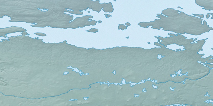
Marker is showing location of Armark River on map(s). You can click on marker if you want to hide it.
 T: 0.00592 s.
2025 © Location.zone | Terms of use | Contact
 154°
154° 108°
108° 100°
100° 245°
245°