Avaarvik River, (stream) is located in Nunavut, in Canada (America). It is placed in GMT-6 time zone with current time of 10:38 AM, Sunday. Offset from your time zone: minutes.
| Latitude | 

|
|
| decimal | 66.07846 | |
| DMS | 66° 4' 42.456" N | |
| Distances from | ||
| North pole | 2659.8 km | |
| Equator | 7347.2 km | |
| South pole | 17354.3 km | |
| Longitude | 
|
|
| decimal | -112.83594 | |
| DMS | 112° 50' 9.384" W | |
| Distance from prime meridian: 4390.5 km to West |
||
List of nearest places sort by population
Yellowknife 409.7 km 190°
190° 211°194°194°
 285°
285° 175°
175° 229°
229° 333°
333° 68°
68° 262°
262°

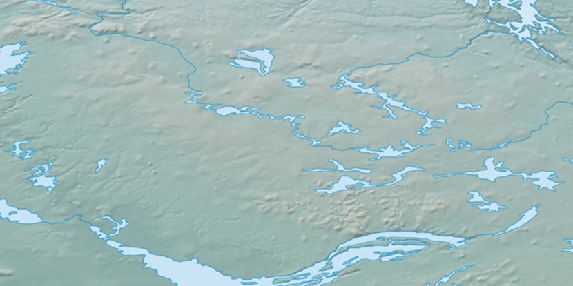
Marker is showing location of Avaarvik River on map(s). You can click on marker if you want to hide it.
 T: 0.00734 s.
2025 © Location.zone | Terms of use | Contact
 140°
140° 133°
133° 153°
153° 197°
197° 104°
104° 244°
244° 161°
161° 217°
217°