Baillie River, (stream) is located in Nunavut, in Canada (America). It is placed in GMT-6 time zone with current time of 10:39 AM, Sunday. Offset from your time zone: minutes.
| Latitude | 

|
|
| decimal | 65.12989 | |
| DMS | 65° 7' 47.604" N | |
| Distances from | ||
| North pole | 2765.3 km | |
| Equator | 7241.8 km | |
| South pole | 17248.8 km | |
| Longitude | 
|
|
| decimal | -104.60159 | |
| DMS | 104° 36' 5.724" W | |
| Distance from prime meridian: 4322.3 km to West |
||
List of nearest places sort by population
Fort McMurray 1002.2 km 201°
201° 238°
238° 160°
160° 221°
221° 229°
229° 213°
213° 112°
112° 302°
302° 44°
44° 270°
270°

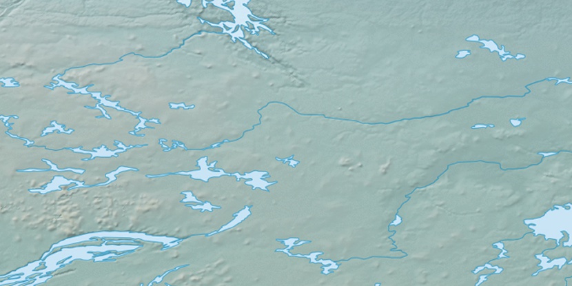
Marker is showing location of Baillie River on map(s). You can click on marker if you want to hide it.
 T: 0.00589 s.
2025 © Location.zone | Terms of use | Contact
 146°
146° 138°
138° 165°
165° 104°
104° 247°
247°