Chamberlin River, (stream) is located in Nunavut, in Canada (America). It is placed in GMT-5 time zone with current time of 11:42 AM, Sunday. Offset from your time zone: minutes.
| Latitude | 

|
|
| decimal | 63.68394 | |
| DMS | 63° 41' 2.184" N | |
| Distances from | ||
| North pole | 2926.1 km | |
| Equator | 7081 km | |
| South pole | 17088.1 km | |
| Longitude | 
|
|
| decimal | -100.55099 | |
| DMS | 100° 33' 3.564" W | |
| Distance from prime meridian: 4433.4 km to West |
||
List of nearest places sort by population
Fort McMurray 975.3 km 217°
217° 258°
258° 170°
170° 184°
184° 247°
247° 195°
195° 235°
235° 102°
102° 304°
304° 20°
20°

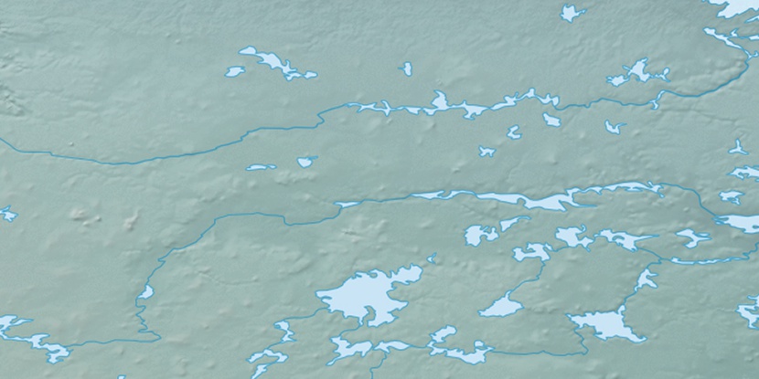
Marker is showing location of Chamberlin River on map(s). You can click on marker if you want to hide it.
 T: 0.00641 s.
2025 © Location.zone | Terms of use | Contact
 148°
148° 139°
139° 209°
209°