Kagloryuak River, (stream) is located in Nunavut, in Canada (America). It is placed in GMT-6 time zone with current time of 10:43 AM, Sunday. Offset from your time zone: minutes.
| Latitude | 

|
|
| decimal | 70.276 | |
| DMS | 70° 16' 33.6" N | |
| Distances from | ||
| North pole | 2193.1 km | |
| Equator | 7814 km | |
| South pole | 17821 km | |
| Longitude | 
|
|
| decimal | -110.00342 | |
| DMS | 110° 0' 12.312" W | |
| Distance from prime meridian: 3569 km to West |
||
List of nearest places sort by population
Yellowknife 890.7 km 192°194°194°
 257°
257° 184°
184° 136°
136° 216°
216° 108°
108° 252°
252° 231°
231°

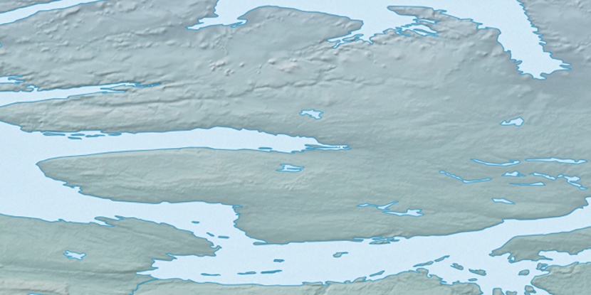
Marker is showing location of Kagloryuak River on map(s). You can click on marker if you want to hide it.
 T: 0.00607 s.
2025 © Location.zone | Terms of use | Contact
 149°
149° 163°
163° 196°
196° 102°
102° 240°
240°