Kukaluk River, (stream) is located in Nunavut, in Canada (America). It is placed in GMT-4 time zone with current time of 12:42 PM, Sunday. Offset from your time zone: minutes.
| Latitude | 

|
|
| decimal | 70.13448 | |
| DMS | 70° 8' 4.128" N | |
| Distances from | ||
| North pole | 2208.8 km | |
| Equator | 7798.2 km | |
| South pole | 17805.3 km | |
| Longitude | 
|
|
| decimal | -80.71536 | |
| DMS | 80° 42' 55.296" W | |
| Distance from prime meridian: 2826.9 km to West |
||
List of nearest places sort by population
Yellowknife 1698.1 km 240°
240° 207°
207° 143°237°
 231°211°
 125°
125° 259°
259° 254°
254° 85°
85°

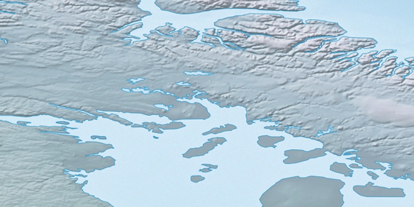
Marker is showing location of Kukaluk River on map(s). You can click on marker if you want to hide it.
 T: 0.00644 s.
2025 © Location.zone | Terms of use | Contact
 178°
178° 171°
171° 219°
219° 201°
201° 116°
116° 111°
111°