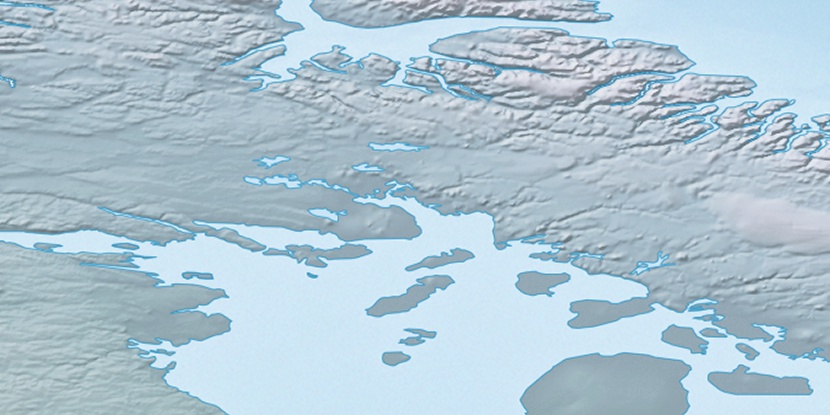
Link River, (stream) is located in Nunavut, in Canada (America). It is placed in GMT-4 time zone with current time of 11:59 AM, Saturday. Offset from your time zone: minutes.
| Latitude | 

|
|
| decimal | 69.60104 | |
| DMS | 69° 36' 3.744" N | |
| Distances from | ||
| North pole | 2268.2 km | |
| Equator | 7738.9 km | |
| South pole | 17746 km | |
| Longitude | 
|
|
| decimal | -76.23143 | |
| DMS | 76° 13' 53.148" W | |
| Distance from prime meridian: 2762.9 km to West |
||
List of nearest places sort by population
Yellowknife 1857 km 245°
245° 215°
215° 165°
165° 152°
152° 237°223°
 131°
131° 262°262°
 71°
71°

Marker is showing location of Link River on map(s). You can click on marker if you want to hide it.
 T: 0.00617 s.
2026 © Location.zone | Terms of use | Contact
 183°
183° 227°
227° 207°
207° 116°
116° 112°
112°