Nanook River, (stream) is located in Nunavut, in Canada (America). It is placed in GMT-6 time zone with current time of 10:39 AM, Sunday. Offset from your time zone: minutes.
| Latitude | 

|
|
| decimal | 71.60943 | |
| DMS | 71° 36' 33.948" N | |
| Distances from | ||
| North pole | 2044.8 km | |
| Equator | 7962.2 km | |
| South pole | 17969.3 km | |
| Longitude | 
|
|
| decimal | -107.78657 | |
| DMS | 107° 47' 11.652" W | |
| Distance from prime meridian: 3283.9 km to West |
||
List of nearest places sort by population
Yellowknife 1055.8 km 195°196°
 249°
249° 188°
188° 145°
145° 237°
237° 213°
213° 126°246°
 227°
227°

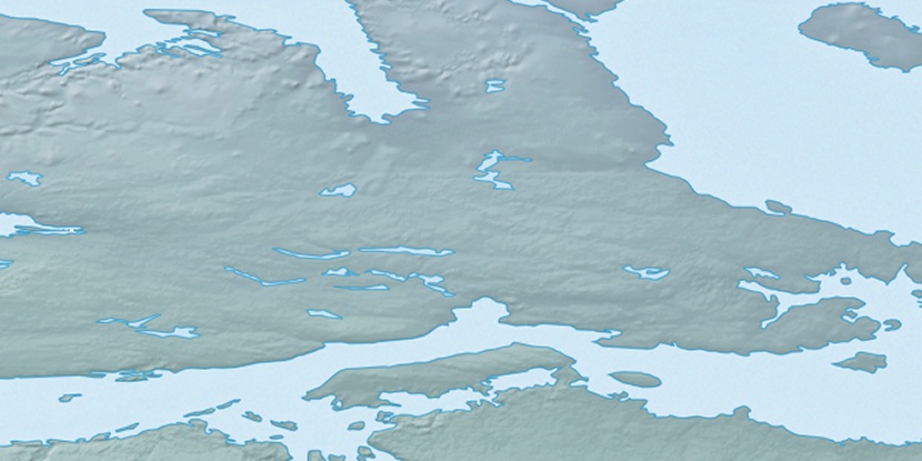
Marker is showing location of Nanook River on map(s). You can click on marker if you want to hide it.
 T: 0.00605 s.
2025 © Location.zone | Terms of use | Contact
 167°
167° 112°
112° 104°
104° 215°
215°