Quusluk River, (stream) is located in Nunavut, in Canada (America). It is placed in GMT-5 time zone with current time of 06:31 AM, Sunday. Offset from your time zone: minutes.
| Latitude | 

|
|
| decimal | 67.11065 | |
| DMS | 67° 6' 38.34" N | |
| Distances from | ||
| North pole | 2545.1 km | |
| Equator | 7462 km | |
| South pole | 17469.1 km | |
| Longitude | 
|
|
| decimal | -87.7355 | |
| DMS | 87° 44' 7.8" W | |
| Distance from prime meridian: 3477.4 km to West |
||
List of nearest places sort by population
Yellowknife 1350.7 km 247°
247° 202°
202° 112°
112° 242°236°203°
 96°
96° 273°
273° 296°
296° 64°
64°

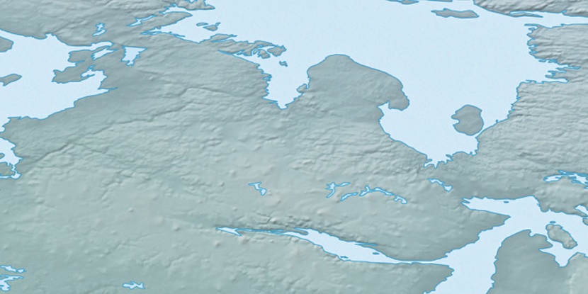
Marker is showing location of Quusluk River on map(s). You can click on marker if you want to hide it.
 T: 0.00652 s.
2025 © Location.zone | Terms of use | Contact
 169°
169° 160°
160° 219°
219° 225°
225°