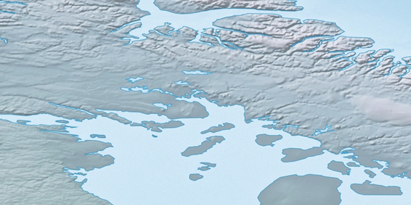
Rowley River, (stream) is located in Nunavut, in Canada (America). It is placed in GMT-4 time zone with current time of 07:31 AM, Sunday. Offset from your time zone: minutes.
| Latitude | 

|
|
| decimal | 70.25117 | |
| DMS | 70° 15' 4.212" N | |
| Distances from | ||
| North pole | 2195.9 km | |
| Equator | 7811.2 km | |
| South pole | 17818.3 km | |
| Longitude | 
|
|
| decimal | -77.78163 | |
| DMS | 77° 46' 53.868" W | |
| Distance from prime meridian: 2723.7 km to West |
||
List of nearest places sort by population
Yellowknife 1808.9 km 241°
241° 211°
211° 151°238°
 234°
234° 217°
217° 132°
132° 259°255°
 85°
85°

Marker is showing location of Rowley River on map(s). You can click on marker if you want to hide it.
 T: 0.00638 s.
2025 © Location.zone | Terms of use | Contact
 181°
181° 204°
204° 117°
117° 112°
112° 246°
246°