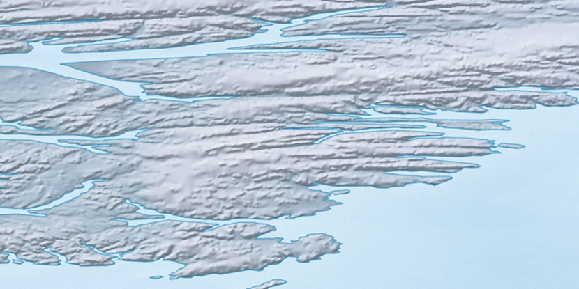
Sanddola Creek, (stream) is located in Nunavut, in Canada (America). It is placed in GMT-4 time zone with current time of 07:32 AM, Sunday. Offset from your time zone: minutes.
| Latitude | 

|
|
| decimal | 79.18521 | |
| DMS | 79° 11' 6.756" N | |
| Distances from | ||
| North pole | 1202.5 km | |
| Equator | 8804.6 km | |
| South pole | 18811.6 km | |
| Longitude | 
|
|
| decimal | -77.93039 | |
| DMS | 77° 55' 49.404" W | |
| Distance from prime meridian: 1506.9 km to West |
||
List of nearest places sort by population
Yellowknife 2205 km 213°
213° 169°
169° 234°
234° 194°165°
 221°
221° 204°233°225°
 164°
164°

Marker is showing location of Sanddola Creek on map(s). You can click on marker if you want to hide it.
 T: 0.01093 s.
2025 © Location.zone | Terms of use | Contact
 180°
180° 133°
133° 120°
120° 235°
235°