Tammarvi River, (stream) is located in Nunavut, in Canada (America). It is placed in GMT-5 time zone with current time of 06:30 AM, Sunday. Offset from your time zone: minutes.
| Latitude | 

|
|
| decimal | 64.48398 | |
| DMS | 64° 29' 2.328" N | |
| Distances from | ||
| North pole | 2837.1 km | |
| Equator | 7169.9 km | |
| South pole | 17177 km | |
| Longitude | 
|
|
| decimal | -101.96791 | |
| DMS | 101° 58' 4.476" W | |
| Distance from prime meridian: 4348.3 km to West |
||
List of nearest places sort by population
Fort McMurray 1001.6 km 210°
210° 249°
249° 166°
166° 230°
230° 239°
239° 190°225°
 110°
110° 302°
302° 30°
30°

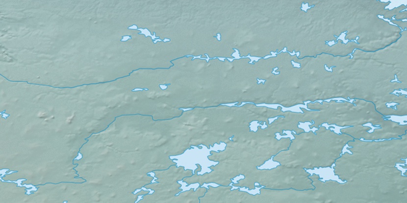
Marker is showing location of Tammarvi River on map(s). You can click on marker if you want to hide it.
 T: 0.00614 s.
2025 © Location.zone | Terms of use | Contact
 148°
148° 140°
140° 216°
216° 103°
103°