Agutua River, (stream) is located in Ontario, in Canada (America). It is placed in GMT-5 time zone with current time of 03:24 PM, Sunday. Offset from your time zone: minutes.
| Latitude | 

|
|
| decimal | 52.80012 | |
| DMS | 52° 48' 0.432" N | |
| Distances from | ||
| North pole | 4136.2 km | |
| Equator | 5870.8 km | |
| South pole | 15877.9 km | |
| Longitude | 
|
|
| decimal | -91.35021 | |
| DMS | 91° 21' 0.756" W | |
| Distance from prime meridian: 5699.1 km to West |
||
List of nearest places sort by population
Selkirk 483.7 km 232°
232° 196°197°
 220°
220° 139°
139° 182°229°
 238°229°
 208°
208°

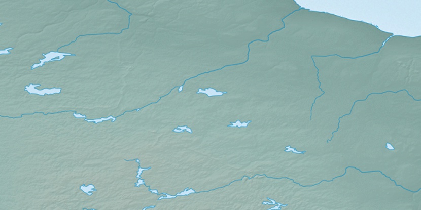
Marker is showing location of Agutua River on map(s). You can click on marker if you want to hide it.
 T: 0.02002 s.
2025 © Location.zone | Terms of use | Contact
 122°
122° 262°
262° 125°
125° 273°
273° 91°
91° 168°
168°