Banipatau Creek, (stream) is located in Ontario, in Canada (America). It is placed in GMT-4 time zone with current time of 12:08 AM, Monday. Offset from your time zone: minutes.
| Latitude | 

|
|
| decimal | 54.70017 | |
| DMS | 54° 42' 0.612" N | |
| Distances from | ||
| North pole | 3925 km | |
| Equator | 6082.1 km | |
| South pole | 16089.2 km | |
| Longitude | 
|
|
| decimal | -87.29985 | |
| DMS | 87° 17' 59.46" W | |
| Distance from prime meridian: 5227.5 km to West |
||
List of nearest places sort by population
Thunder Bay 715.3 km 190°
190° 279°
279° 150°
150° 214°
214° 156°
156° 174°
174° 226°
226° 179°164°
 221°
221°

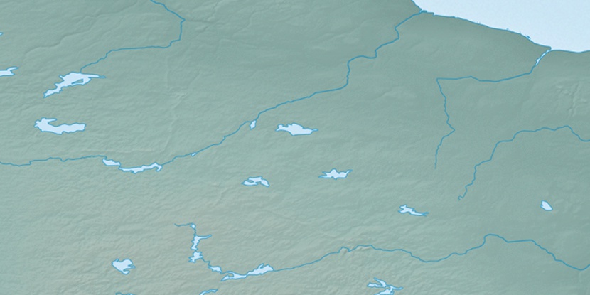
Marker is showing location of Banipatau Creek on map(s). You can click on marker if you want to hide it.
 T: 0.0195 s.
2025 © Location.zone | Terms of use | Contact
 136°
136° 257°
257° 265°
265° 93°
93°