Michikenis River, (stream) is located in Ontario, in Canada (America). It is placed in GMT-4 time zone with current time of 11:21 PM, Sunday. Offset from your time zone: minutes.
| Latitude | 

|
|
| decimal | 52.83342 | |
| DMS | 52° 50' 0.312" N | |
| Distances from | ||
| North pole | 4132.5 km | |
| Equator | 5874.5 km | |
| South pole | 15881.6 km | |
| Longitude | 
|
|
| decimal | -88.88331 | |
| DMS | 88° 52' 59.916" W | |
| Distance from prime meridian: 5564.9 km to West |
||
List of nearest places sort by population
Thunder Bay 495.6 km 182°
182° 218°
218° 133°
133° 159°
159° 239°160°
 203°184°
 144°
144° 230°
230°

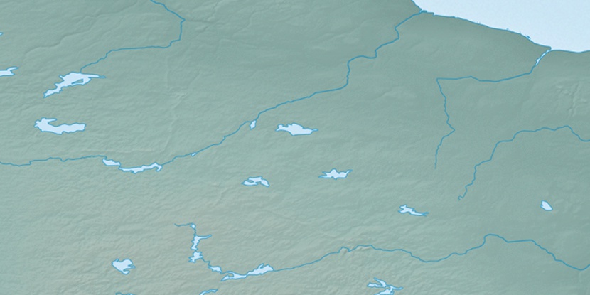
Marker is showing location of Michikenis River on map(s). You can click on marker if you want to hide it.
 T: 0.01987 s.
2025 © Location.zone | Terms of use | Contact
 145°
145° 263°
263° 272°
272° 91°
91° 169°
169°