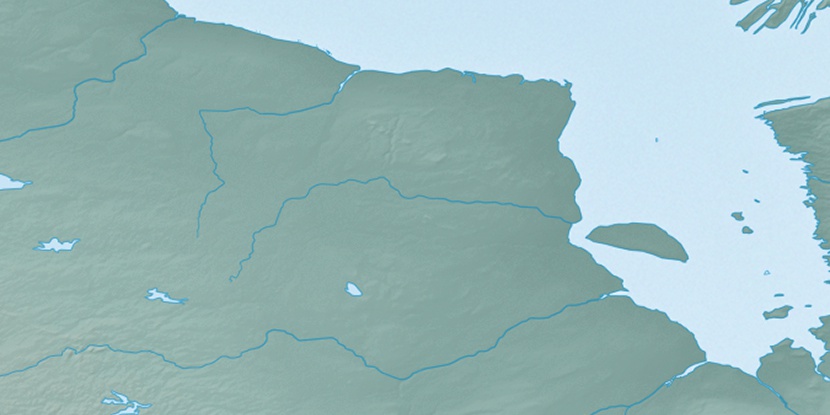
Muketei River, (stream) is located in Ontario, in Canada (America). It is placed in GMT-4 time zone with current time of 04:36 PM, Sunday. Offset from your time zone: minutes.
| Latitude | 

|
|
| decimal | 53.13343 | |
| DMS | 53° 8' 0.348" N | |
| Distances from | ||
| North pole | 4099.2 km | |
| Equator | 5907.9 km | |
| South pole | 15914.9 km | |
| Longitude | 
|
|
| decimal | -85.29972 | |
| DMS | 85° 17' 58.992" W | |
| Distance from prime meridian: 5333.5 km to West |
||
List of nearest places sort by population
Thunder Bay 596.7 km 207°
207° 151°154°
 163°
163° 189°146°
 198°207°
 175°
175° 243°
243°

Marker is showing location of Muketei River on map(s). You can click on marker if you want to hide it.
 T: 0.01967 s.
2025 © Location.zone | Terms of use | Contact
 135°
135° 263°
263° 271°
271° 246°
246° 91°
91° 171°
171° 231°
231°