Haldane River Automatic Weather Reporting System, (meteorological station) is located in Canada (America). It is placed in GMT-6 time zone with current time of 08:05 AM, Thursday. Offset from your time zone: minutes.
| Latitude | 

|
|
| decimal | 67.06667 | |
| DMS | 67° 4' 0.012" N | |
| Distances from | ||
| North pole | 2549.9 km | |
| Equator | 7457.1 km | |
| South pole | 17464.2 km | |
| Longitude | 
|
|
| decimal | -121.1 | |
| DMS | 121° 6' 0" W | |
| Distance from prime meridian: 4410.9 km to West |
||
List of nearest places sort by population
Yellowknife 603.2 km 148°
148° 184°
184° 159°
159° 285°149°
 205°
205° 248°
248° 71°
71° 273°
273° 232°
232°

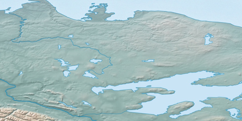
Marker is showing location of Haldane River Automatic Weather Reporting System on map(s). You can click on marker if you want to hide it.
 T: 0.00556 s.
2026 © Location.zone | Terms of use | Contact
 135°
135° 130°
130° 167°
167° 104°
104° 241°
241°