Hanbury River Automated Reporting Station, (meteorological station) is located in Canada (America). It is placed in GMT-6 time zone with current time of 04:41 AM, Wednesday. Offset from your time zone: minutes.
| Latitude | 

|
|
| decimal | 63.58333 | |
| DMS | 63° 34' 59.988" N | |
| Distances from | ||
| North pole | 2937.3 km | |
| Equator | 7069.8 km | |
| South pole | 17076.9 km | |
| Longitude | 
|
|
| decimal | -105.15 | |
| DMS | 105° 9' 0" W | |
| Distance from prime meridian: 4601.1 km to West |
||
List of nearest places sort by population
Fort McMurray 835.8 km 204°
204° 254°
254° 154°
154° 228°
228° 240°
240° 180°
180° 221°
221° 97°
97° 316°
316° 36°
36°

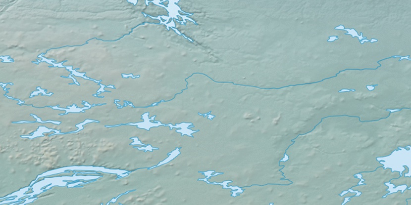
Marker is showing location of Hanbury River Automated Reporting Station on map(s). You can click on marker if you want to hide it.
 T: 0.0056 s.
2026 © Location.zone | Terms of use | Contact
 143°
143° 162°
162° 214°
214°