Rowley Island, N. W. T., (meteorological station) is located in Canada (America). It is placed in GMT-4 time zone with current time of 01:31 PM, Thursday. Offset from your time zone: minutes.
| Latitude | 

|
|
| decimal | 69.06667 | |
| DMS | 69° 4' 0.012" N | |
| Distances from | ||
| North pole | 2327.6 km | |
| Equator | 7679.5 km | |
| South pole | 17686.6 km | |
| Longitude | 
|
|
| decimal | -79.06667 | |
| DMS | 79° 4' 0.012" W | |
| Distance from prime meridian: 2923.2 km to West |
||
List of nearest places sort by population
Yellowknife 1739.4 km 245°
245° 212°
212° 141°
141° 241°237°
 220°
220° 119°
119° 264°
264° 265°
265° 68°
68°

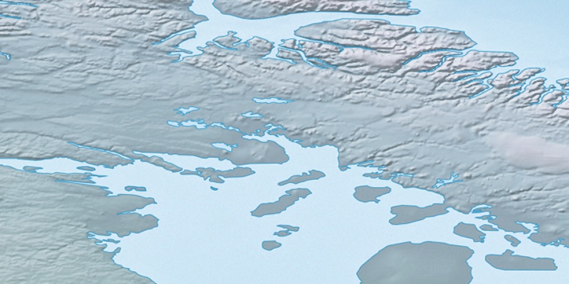
Marker is showing location of Rowley Island, N. W. T. on map(s). You can click on marker if you want to hide it.
 T: 0.00557 s.
2026 © Location.zone | Terms of use | Contact
 180°
180° 173°
173° 226°
226° 204°
204° 114°
114° 104°
104°