Dongshabu’ertai, (fourth-order administrative division) is located in Inner Mongolia, in China (Asia). It is placed in GMT+8 time zone with current time of 02:38 AM, Saturday. Offset from your time zone: minutes.
| Latitude | 

|
|
| decimal | 44.1489 | |
| DMS | 44° 8' 56.04" N | |
| Distances from | ||
| North pole | 5098.2 km | |
| Equator | 4908.9 km | |
| South pole | 14916 km | |
| Longitude | 
|
|
| decimal | 119.766 | |
| DMS | 119° 45' 57.6" E | |
| Distance from prime meridian: 8531.5 km to East |
||
List of nearest places sort by population
Fuxin 282.6 km 147°
147° 197°
197° 106°
106° 40°
40° 162°
162° 61°
61° 189°
189° 74°199°145°

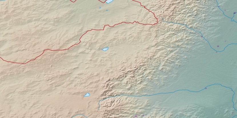
Marker is showing location of Dongshabu’ertai on map(s). You can click on marker if you want to hide it.
 T: 0.02521 s.
2026 © Location.zone | Terms of use | Contact
 174°
174° 210°
210° 215°
215° 183°
183° 119°
119° 282°
282°