Harigantu, (fourth-order administrative division) is located in Inner Mongolia, in China (Asia). It is placed in GMT+8 time zone with current time of 04:50 AM, Saturday. Offset from your time zone: minutes.
| Latitude | 

|
|
| decimal | 49.1998 | |
| DMS | 49° 11' 59.28" N | |
| Distances from | ||
| North pole | 4536.6 km | |
| Equator | 5470.5 km | |
| South pole | 15477.6 km | |
| Longitude | 
|
|
| decimal | 118.456 | |
| DMS | 118° 27' 21.6" E | |
| Distance from prime meridian: 7595.3 km to East |
||
List of nearest places sort by population
Hailar 90.4 km 89°
89° 112°86°
 296°
296° 120°
120° 51°119°
 68°111°301°

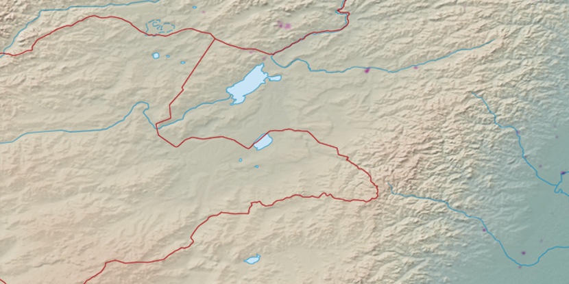
Marker is showing location of Harigantu on map(s). You can click on marker if you want to hide it.
 T: 0.02592 s.
2026 © Location.zone | Terms of use | Contact
 172°
172° 188°
188° 204°
204° 210°
210° 179°
179° 130°
130° 277°
277° 272°
272° 160°
160°