Chu Pei, (airfield) is located in Hunan, in China (Asia). It is placed in GMT+8 time zone with current time of 09:46 AM, Thursday. Offset from your time zone: minutes.
| Latitude | 

|
|
| decimal | 29.14002 | |
| DMS | 29° 8' 24.072" N | |
| Distances from | ||
| North pole | 6767 km | |
| Equator | 3240.1 km | |
| South pole | 13247.1 km | |
| Longitude | 
|
|
| decimal | 112.49428 | |
| DMS | 112° 29' 39.408" E | |
| Distance from prime meridian: 10356.1 km to East |
||
List of nearest places sort by population
Yueyang 63.8 km 65°
65° 262°
262° 194°
194° 351°
351° 310°
310° 199°310°
 143°
143° 176°
176° 339°
339°

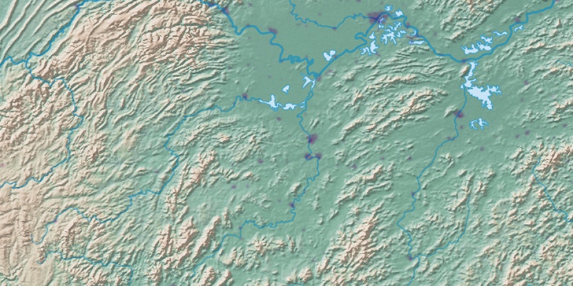
Marker is showing location of Chu Pei on map(s). You can click on marker if you want to hide it.
 T: 0.00643 s.
2026 © Location.zone | Terms of use | Contact
 16°
16° 173°
173° 46°
46° 274°
274° 281°
281° 61°
61° 296°
296° 287°
287° 149°
149° 110°
110°