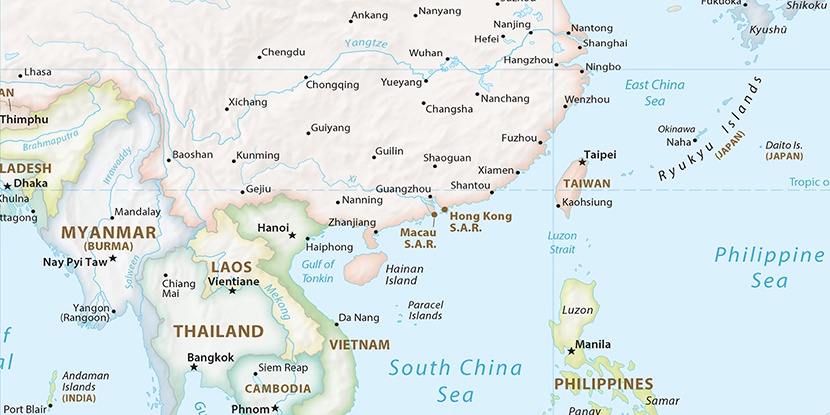
Kai Tak Airport, (abandoned airfield) is located in China (Asia). It is placed in GMT+8 time zone with current time of 07:48 AM, Friday. Offset from your time zone: minutes.
| Latitude | 

|
|
| decimal | 22.31498 | |
| DMS | 22° 18' 53.928" N | |
| Distances from | ||
| North pole | 7525.9 km | |
| Equator | 2481.2 km | |
| South pole | 12488.3 km | |
| Longitude | 
|
|
| decimal | 114.20511 | |
| DMS | 114° 12' 18.396" E | |
| Distance from prime meridian: 11333.6 km to East |
||
List of nearest places sort by population
Shenzhen 29.2 km 331°329°
 266°
266° 284°
284° 13°
13° 315°
315° 26°
26° 4°34°
4°34° 311°
311°

Marker is showing location of Kai Tak Airport on map(s). You can click on marker if you want to hide it.
 T: 0.00561 s.
2026 © Location.zone | Terms of use | Contact
 35°
35° 22°
22° 58°
58° 300°
300° 147°
147° 291°
291° 108°
108°