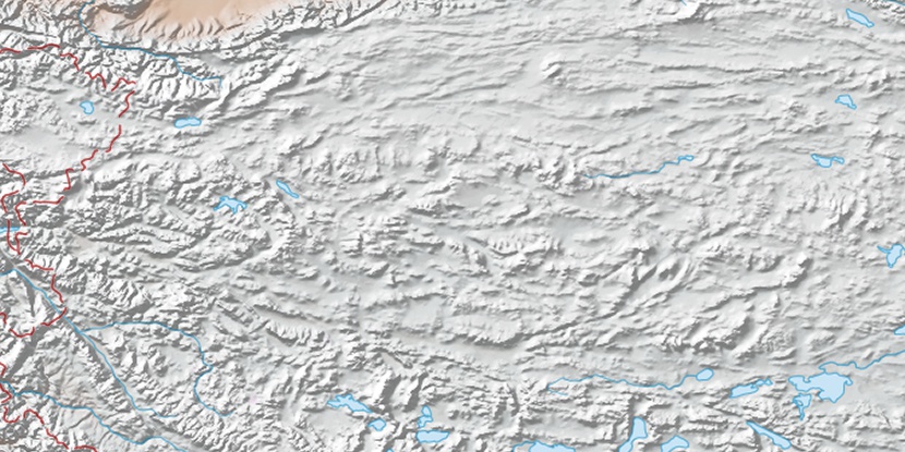
Ruridagu, (grazing area) is located in Tibet Autonomous Region, in China (Asia). It is placed in GMT+6 time zone with current time of 11:29 AM, Thursday. Offset from your time zone: minutes.
| Latitude | 

|
|
| decimal | 32.6715 | |
| DMS | 32° 40' 17.4" N | |
| Distances from | ||
| North pole | 6374.3 km | |
| Equator | 3632.7 km | |
| South pole | 13639.8 km | |
| Longitude | 
|
|
| decimal | 85.6818 | |
| DMS | 85° 40' 54.48" E | |
| Distance from prime meridian: 7764.7 km to East |
||
List of nearest places sort by population
Aral 959.4 km 335°
335° 123°
123° 313°
313° 141°122°
 102°309°138°
 238°
238° 186°
186°

Marker is showing location of Ruridagu on map(s). You can click on marker if you want to hide it.
 T: 0.03566 s.
2026 © Location.zone | Terms of use | Contact
 92°
92° 73°
73° 75°
75° 111°
111° 304°
304° 290°
290° 245°
245°