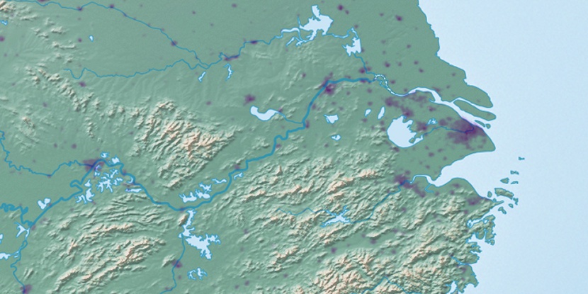
Ta Sha Island (historical), (island) is located in Jiangsu, in China (Asia). It is placed in GMT+8 time zone with current time of 11:30 AM, Thursday. Offset from your time zone: minutes.
| Latitude | 

|
|
| decimal | 32.23095 | |
| DMS | 32° 13' 51.42" N | |
| Distances from | ||
| North pole | 6423.3 km | |
| Equator | 3583.7 km | |
| South pole | 13590.8 km | |
| Longitude | 
|
|
| decimal | 119.52232 | |
| DMS | 119° 31' 20.352" E | |
| Distance from prime meridian: 10441.6 km to East |
||
List of nearest places sort by population
Changzhou 65.1 km 141°
141° 250°
250° 51°
51° 336°
336° 279°
279° 353°
353° 9°
9° 98°
98° 62°250°

Marker is showing location of Ta Sha Island (historical) on map(s). You can click on marker if you want to hide it.
 T: 0.0101 s.
2026 © Location.zone | Terms of use | Contact
 121°
121° 211°
211° 256°
256° 78°
78° 292°
292° 155°
155° 112°
112°