Taiping Ling, (mountain) is located in Inner Mongolia, in China (Asia). It is placed in GMT+8 time zone with current time of 11:16 AM, Thursday. Offset from your time zone: minutes.
| Latitude | 

|
|
| decimal | 47.45394 | |
| DMS | 47° 27' 14.184" N | |
| Distances from | ||
| North pole | 4730.7 km | |
| Equator | 5276.4 km | |
| South pole | 15283.4 km | |
| Longitude | 
|
|
| decimal | 120.45951 | |
| DMS | 120° 27' 34.236" E | |
| Distance from prime meridian: 7992.4 km to East |
||
List of nearest places sort by population
Qiqihar 263.8 km 92°
92° 96°
96° 343°
343° 140°
140° 70°
70° 5°93°
5°93° 117°87°
 77°
77°

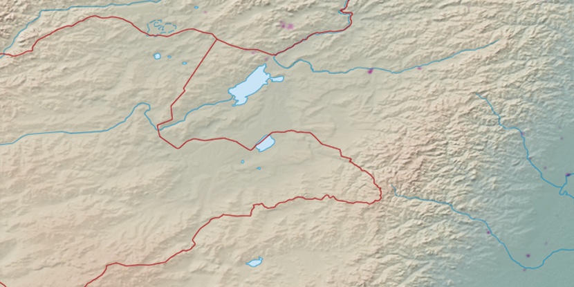
Marker is showing location of Taiping Ling on map(s). You can click on marker if you want to hide it.
 T: 0.01235 s.
2026 © Location.zone | Terms of use | Contact
 177°
177° 201°
201° 193°
193° 211°
211° 216°
216° 129°
129° 279°
279° 274°
274° 161°
161°