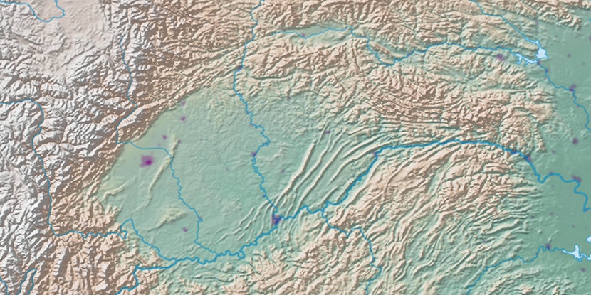
Huluba, (populated place) is located in Hubei, in China (Asia). It is placed in GMT+8 time zone with current time of 02:32 AM, Sunday. Offset from your time zone: minutes.
| Latitude | 

|
|
| decimal | 30.01025 | |
| DMS | 30° 0' 36.9" N | |
| Distances from | ||
| North pole | 6670.2 km | |
| Equator | 3336.8 km | |
| South pole | 13343.9 km | |
| Longitude | 
|
|
| decimal | 109.12724 | |
| DMS | 109° 7' 38.064" E | |
| Distance from prime meridian: 9978.7 km to East |
||
List of nearest places sort by population
Yichang 221.3 km 69°
69° 320°
320° 258°
258° 82°
82° 310°
310° 162°
162° 46°
46° 126°320°161°

Marker is showing location of Huluba on map(s). You can click on marker if you want to hide it.
 T: 0.0563 s.
2026 © Location.zone | Terms of use | Contact
 30°
30° 35°
35° 151°
151° 278°
278° 296°
296° 287°
287° 249°
249°