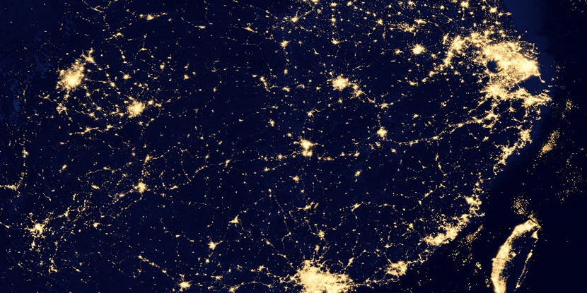
Tsi Ku Kang (historical), (populated place) is located in Hubei, in China (Asia). It is placed in GMT+8 time zone with current time of 09:40 AM, Saturday. Offset from your time zone: minutes.
| Latitude | 

|
|
| decimal | 30.39701 | |
| DMS | 30° 23' 49.236" N | |
| Distances from | ||
| North pole | 6627.2 km | |
| Equator | 3379.8 km | |
| South pole | 13386.9 km | |
| Longitude | 
|
|
| decimal | 114.94823 | |
| DMS | 114° 56' 53.628" E | |
| Distance from prime meridian: 10375.4 km to East |
||
List of nearest places sort by population
Wuhan 68.5 km 287°
287° 150°
150° 136°
136° 271°292°
 344°
344° 78°
78° 111°
111° 179°
179° 314°
314°

Marker is showing location of Tsi Ku Kang (historical) on map(s). You can click on marker if you want to hide it.
 T: 0.05699 s.
2026 © Location.zone | Terms of use | Contact
 7°
7° 191°
191° 263°
263° 63°
63° 283°
283°