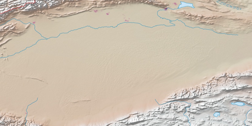
Chumudui, (populated place) is located in Xinjiang Uygur Zizhiqu, in China (Asia). It is placed in GMT+8 time zone with current time of 05:24 PM, Wednesday. Offset from your time zone: minutes.
| Latitude | 

|
|
| decimal | 40.67028 | |
| DMS | 40° 40' 13.008" N | |
| Distances from | ||
| North pole | 5485 km | |
| Equator | 4522.1 km | |
| South pole | 14529.2 km | |
| Longitude | 
|
|
| decimal | 81.755 | |
| DMS | 81° 45' 18" E | |
| Distance from prime meridian: 6618.1 km to East |
||
List of nearest places sort by population
Aksu 136.5 km 294°
294° 254°250°
 71°
71° 201°
201° 237°
237° 40°
40° 214°
214° 283°69°

Marker is showing location of Chumudui on map(s). You can click on marker if you want to hide it.
 T: 0.01475 s.
2026 © Location.zone | Terms of use | Contact
 106°
106° 91°
91° 123°
123° 297°
297° 96°
96° 139°
139°