Sa-k’o-erh-t’e-ma, (populated place) is located in Xinjiang Uygur Zizhiqu, in China (Asia). It is placed in GMT+6 time zone with current time of 07:33 PM, Wednesday. Offset from your time zone: minutes.
| Latitude | 

|
|
| decimal | 40.41417 | |
| DMS | 40° 24' 51.012" N | |
| Distances from | ||
| North pole | 5513.4 km | |
| Equator | 4493.6 km | |
| South pole | 14500.7 km | |
| Longitude | 
|
|
| decimal | 88.05028 | |
| DMS | 88° 3' 1.008" E | |
| Distance from prime meridian: 7104.4 km to East |
||
List of nearest places sort by population
Ürümqi 378.4 km 354°
354° 339°
339° 271°
271° 18°351°
 313°
313° 59°337°
 288°
288° 322°
322°

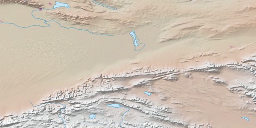
Marker is showing location of Sa-k’o-erh-t’e-ma on map(s). You can click on marker if you want to hide it.
 T: 0.01477 s.
2026 © Location.zone | Terms of use | Contact
 108°
108° 91°
91° 129°
129° 96°
96° 283°
283° 141°
141° 243°
243°