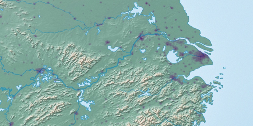
Caojiawandui, (farm village) is located in Anhui Sheng, in China (Asia). It is placed in GMT+8 time zone with current time of 05:19 PM, Thursday. Offset from your time zone: minutes.
| Latitude | 

|
|
| decimal | 31.05191 | |
| DMS | 31° 3' 6.876" N | |
| Distances from | ||
| North pole | 6554.4 km | |
| Equator | 3452.6 km | |
| South pole | 13459.7 km | |
| Longitude | 
|
|
| decimal | 119.12952 | |
| DMS | 119° 7' 46.272" E | |
| Distance from prime meridian: 10588.9 km to East |
||
List of nearest places sort by population
Changzhou 112.1 km 44°
44° 293°
293° 102°
102° 252°
252° 62°
62° 125°38°
 94°
94° 312°
312° 32°
32°

Marker is showing location of Caojiawandui on map(s). You can click on marker if you want to hide it.
 T: 0.02567 s.
2026 © Location.zone | Terms of use | Contact
 345°
345° 213°
213° 263°
263° 268°
268° 343°
343° 74°
74° 154°
154° 283°
283° 111°
111°