Dinggo, (farm village) is located in Tibet Autonomous Region, in China (Asia). It is placed in GMT+6 time zone with current time of 11:04 AM, Thursday. Offset from your time zone: minutes.
| Latitude | 

|
|
| decimal | 33.22 | |
| DMS | 33° 13' 12" N | |
| Distances from | ||
| North pole | 6313.3 km | |
| Equator | 3693.7 km | |
| South pole | 13700.8 km | |
| Longitude | 
|
|
| decimal | 84.85 | |
| DMS | 84° 51' 0" E | |
| Distance from prime meridian: 7640.7 km to East |
||
List of nearest places sort by population
Aral 874.1 km 338°
338° 123°
123° 314°
314° 139°123°
 105°309°136°
 226°
226° 175°
175°

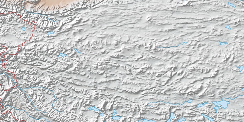
Marker is showing location of Dinggo on map(s). You can click on marker if you want to hide it.
 T: 0.02877 s.
2026 © Location.zone | Terms of use | Contact
 93°
93° 75°
75° 96°
96° 304°
304° 290°
290° 245°
245°