Lin Sandui, (farm village) is located in Inner Mongolia, in China (Asia). It is placed in GMT+8 time zone with current time of 05:26 PM, Thursday. Offset from your time zone: minutes.
| Latitude | 

|
|
| decimal | 50.35622 | |
| DMS | 50° 21' 22.392" N | |
| Distances from | ||
| North pole | 4408 km | |
| Equator | 5599.1 km | |
| South pole | 15606.1 km | |
| Longitude | 
|
|
| decimal | 121.94506 | |
| DMS | 121° 56' 42.216" E | |
| Distance from prime meridian: 7540.6 km to East |
||
List of nearest places sort by population
Hailar 206.2 km 231°
231° 87°
87° 167°
167° 216°
216° 134°
134° 119°
119° 327°
327° 79°
79° 41°
41° 157°
157°

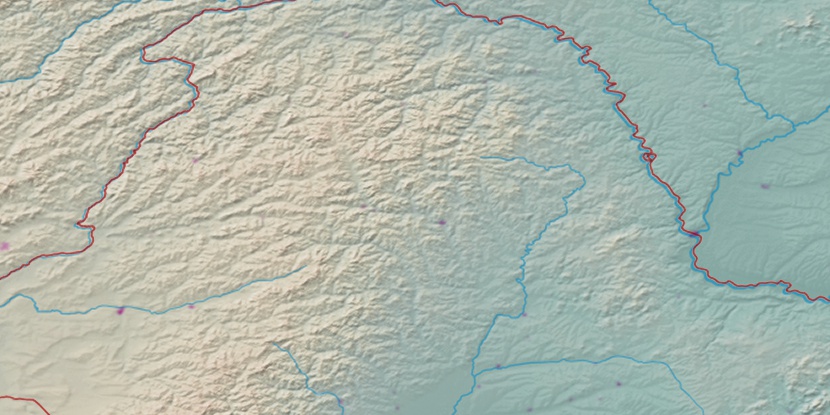
Marker is showing location of Lin Sandui on map(s). You can click on marker if you want to hide it.
 T: 0.02622 s.
2026 © Location.zone | Terms of use | Contact
 181°
181° 200°
200° 194°
194° 209°
209° 138°
138° 276°
276° 271°
271°