Sandui, (farm village) is located in Inner Mongolia, in China (Asia). It is placed in GMT+8 time zone with current time of 05:10 PM, Thursday. Offset from your time zone: minutes.
| Latitude | 

|
|
| decimal | 48.4406 | |
| DMS | 48° 26' 26.16" N | |
| Distances from | ||
| North pole | 4621 km | |
| Equator | 5386.1 km | |
| South pole | 15393.2 km | |
| Longitude | 
|
|
| decimal | 117.62573 | |
| DMS | 117° 37' 32.628" E | |
| Distance from prime meridian: 7689.3 km to East |
||
List of nearest places sort by population
Hailar 173.7 km 60°
60° 127°
127° 97°
97° 67°
67° 2°
2° 106°
106° 47°104°97°
 353°
353°

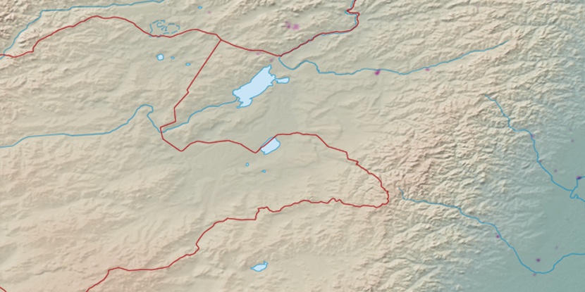
Marker is showing location of Sandui on map(s). You can click on marker if you want to hide it.
 T: 0.02756 s.
2026 © Location.zone | Terms of use | Contact
 170°
170° 185°
185° 181°
181° 204°
204° 210°
210° 278°
278° 273°
273° 159°
159° 117°
117°