Wulite Linchang, (farm village) is located in Inner Mongolia, in China (Asia). It is placed in GMT+8 time zone with current time of 03:14 PM, Thursday. Offset from your time zone: minutes.
| Latitude | 

|
|
| decimal | 51.16222 | |
| DMS | 51° 9' 43.992" N | |
| Distances from | ||
| North pole | 4318.4 km | |
| Equator | 5688.7 km | |
| South pole | 15695.8 km | |
| Longitude | 
|
|
| decimal | 123.00861 | |
| DMS | 123° 0' 30.996" E | |
| Distance from prime meridian: 7437.6 km to East |
||
List of nearest places sort by population
Hailar 321 km 227°
227° 136°
136° 183°
183° 217°
217° 107°
107° 156°144°
 248°143°
 42°
42°

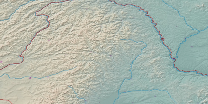
Marker is showing location of Wulite Linchang on map(s). You can click on marker if you want to hide it.
 T: 0.02837 s.
2026 © Location.zone | Terms of use | Contact
 202°
202° 193°
193° 209°
209° 275°
275° 271°
271° 119°
119°